VIA Metro, San Antonio, TX
Survey
Role: Subconsultant
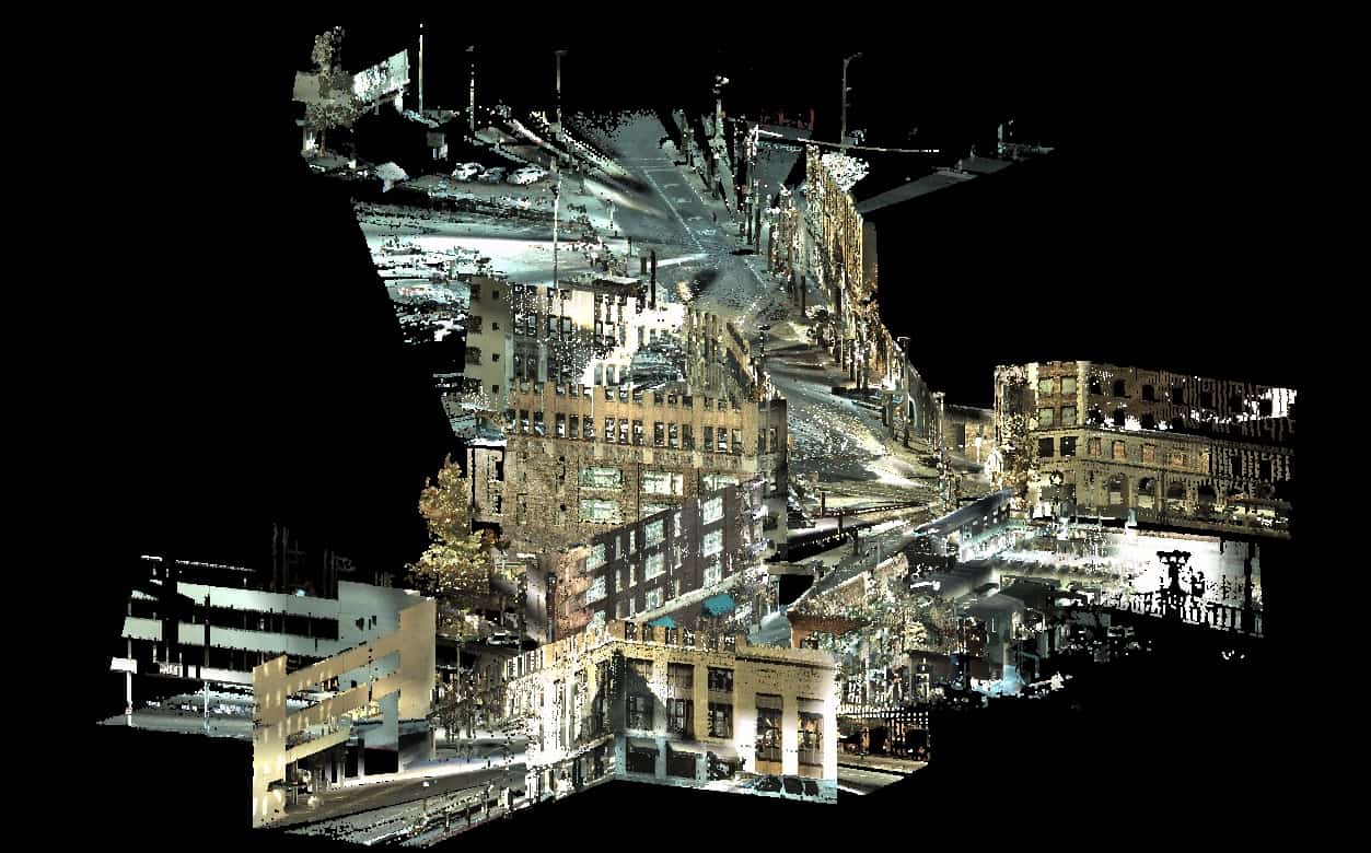
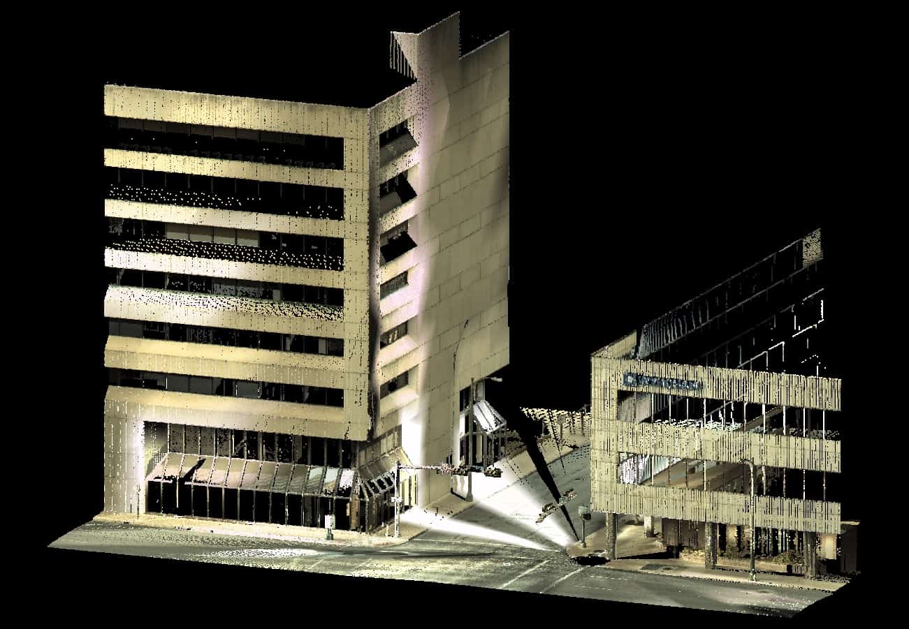
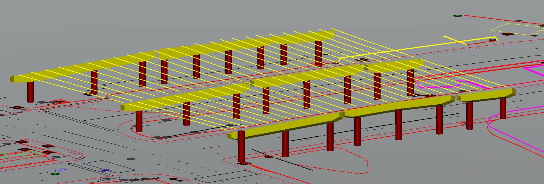
AZ&B provided design surveys for approximately six miles along VIA’s new trolley line route. Due to the route being located in downtown San Antonio, an abundance of obstacles had to be overcome from a survey standpoint. Traditional aerial or LiDAR mapping was not an option due to building heights, airspace restrictions, traffic loads and survey parameters. Traditional on-the-ground survey by GPS and/or traditional survey equipment was not appropriate due to traffic volume and safety for both AZ&B personnel and the motoring public. AZ&B determined that utilizing two LiDAR scanning systems was the most safe and efficient means to gather all visible features. Due to this approach, there were no roadway lane or street closures, thus allowing free flow of traffic. AZ&B completed approximately 200 individual scans, which captured a total of approximately 3-billion individual 3-D raw data points.
Services
- Planimetric & Topographic Mapping
- LiDAR Scanning